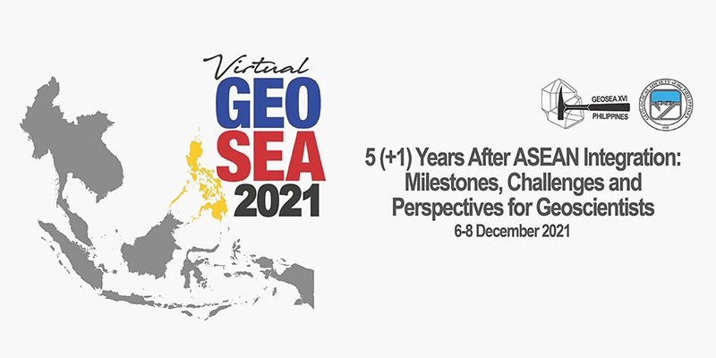
The Regional Geoscience Congress of Southeast Asia (GEOSEA) 2021 was held last December 6-8, 2021 via Zoom with the theme “5 (+1) Years after ASEAN Integration: Milestones, Challenges and Perspectives for Geoscientists.” This conference highlighted the latest research and innovations in Earth Science from scientists and practitioners from Southeast Asia and the Asia-Pacific Region.
Two laboratory members presented the outcomes of their researches in the conference: Ms. Maria Caezare Mae Cariño and Mr. Kerve Supnet. Their abstracts are presented below.
The Nannoworks Laboratory is proud of the results of their hardwork and congratulates them on their presentation in the conference.
Foraminifera fluxes and their response to the Asian Monsoon: Insights from the Inner Sea of the Maldives, Indian Ocean
The Asian Monsoon forces the seasonally reversing wind system in the Indian Ocean. Northeast winds dominate during the winter months (November-March) while southwest winds dominate during the summer months (June-October). The interaction of the changing winds to the sea surface drive monsoonal currents and influence the hydrography of the area. Two sediment trap systems were deployed in the Inner Sea of the Maldives for 12 months (August 24, 2014 to August 22, 2015) to observe changes in particulate fluxes in response to changes in environmental conditions. Foraminifera species flux show strong correlation with the northeast monsoon where highest abundances are generally paired with low sea surface temperatures. Lag between high chlorophyll-a concentration and increase in foraminifera flux was observed. The pattern of calcium carbonate and foraminiferal fluxes in both traps behave similarly. Six tropical/subtropical foram species (spp) show seasonality and account for 82% and 84% of the total assemblage. Foraminiferal species flux in the northern trap shows a distinct peak during January to February in the northeast monsoon. In the southern trap, species present three increases in flux: intermonsoon to northeast monsoon (September-November), during the months of January to February, and at the start of the southwest monsoon (May-June).
Maria Caezare Mae Cariño, Alyssa Peleo-Alampay, Martin Wiesner, Leopoldo de Silva and Niko Lahajnar
Use of two- (2D) and three-dimensional (3D) morphometric analysis of gravels in establishing the depositional environment of Viga Conglomerate
The Plio-Pleistocene Viga Conglomerate, the youngest lithologic unit in Catanduanes Island, Philippines was subjected to lithofacies and architectural analyses to determine its depositional environment and history. One of the methods used involved the two- (2D) and three- dimensional (3D) morphometric analysis of 845 gravels (mostly pebble) collected from 22 different localities in the study area. Based on the 3D measurements, the following morphometric parameters (mean values) were determined: flatness ratio (FR = 0.52), elongation ratio (ER = 0.74), maximum projection sphericity index (MPSI = 0.72), and oblate-prolate index (OP-index = 0.25). On the other hand, morphometric parameters obtained from the 2D measurement show that the elongation and sphericity values (using Riley projection sphericity) range from 0.68-0.72 (mean = 0.78) and 0.67 to 0.74 (mean = 0.71), respectively. Based on the studies of Sneed and Folk (1958), Luttig (1962), and Dobkins and Folk (1970), all these values indicate that the gravels were deposited in a fluvial environment. Plotting of the morphometric parameters in scatter plot diagrams (e.g., sphericity-form [Sneed and Folk, 1985], coefficient of flatness vs. MPSI [Stratten, 1974], and MPSI vs. OP-index [Dobkins and Folk, 1970]) also suggests the same depositional setting. The results of the present study suggest and further validate that 2D measurements of gravels can be used for morphometric analysis especially when the gravel/conglomerate to be studied is extensive. An attempt to correlate lithology with gravel morphology was made, but no relationship was observed.
Kerve Supnet and Allan Gil Fernando


